Non-invasive subsurface scanning and utility detection that prevents costly strikes, project delays, and safety incidents across NT government and commercial sites.
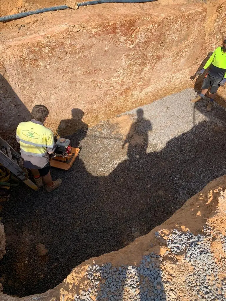
Every dig carries risk. Hit a power line, sever a water main, or damage telecommunications infrastructure and your project stops. The costs multiply: emergency repairs, project delays, contractor coordination, regulatory reporting and potential safety incidents.
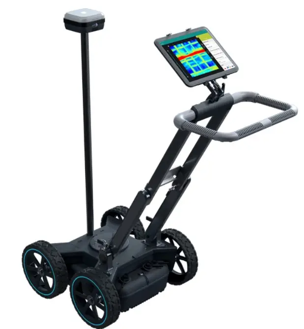
Gold Medal Services uses Ground Penetrating Radar (GPR) and electromagnetic location technology to scan up to 8 metres below the surface. You get a 3D map of what’s underground before any excavation starts.
What We Detect
Our equipment identifies underground services that standard methods miss:
Electrical power lines and data cables
Water, sewer and stormwater pipes
Gas lines
Concrete structures and voids
Subsurface anomalies
The GPR system works where other methods fail. No need for direct access to services or metal-only detection. You get complete subsurface visibility.
How Ground Penetrating Radar Works
Site Assessment: We review your project area, existing plans and access requirements.
Field Scanning: Our CertLoc-certified operators scan the designated area using GPR and electromagnetic equipment. The system records positioning with 1-5cm accuracy using GPS, GLONASS, Galileo, and BeiDou satellites.
3D Mapping and Reporting: You receive annotated maps with precise utility locations, depths, and geolocation data. We deliver files in CAD or GIS format for integration with your project documentation.
Technology Specifications
Our GPR system delivers results that meet project compliance requirements:
Detection depth: Up to 8 metres
Target detection: Objects as small as 1cm
Positioning accuracy: 1-5cm real-time with Network RTK correction
Frequency range: 40-3440MHz stepped frequency
Coverage: No grid constraints—scan any terrain or layout
Output formats: CAD, GIS, annotated site plans
Augmented reality overlay lets us superimpose scan data directly onto the site in real time. You see exactly where utilities run before any ground disturbance.
When You Need GPR Mapping
GPR proves essential for projects where subsurface unknowns create risk:
Pre-construction site investigation
Utility location before NDD or excavation
As-built verification and documentation
Concrete scanning before coring or drilling
Archaeological and environmental assessments
Compliance documentation for regulatory approvals
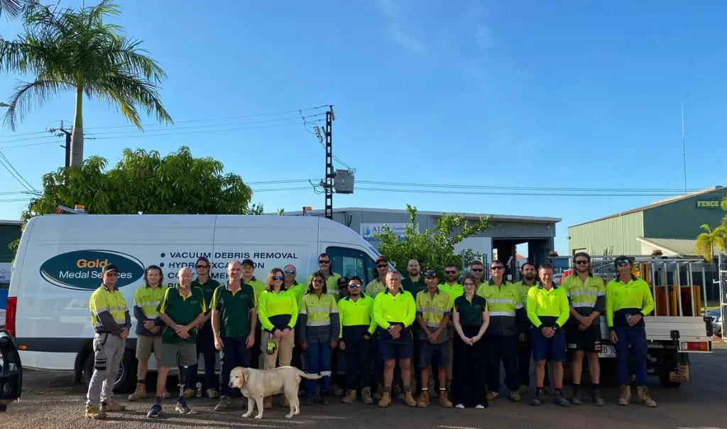
We’ve mapped sites across Defence facilities, commercial developments, municipal infrastructure, and industrial complexes throughout the NT.
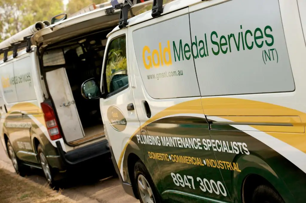
Why Choose Gold Medal Services for GPR?
CertLoc Certified Operators
Our team holds CertLoc (formerly Dial Before You Dig) certification. Every scan meets NT regulatory requirements and industry standards.
Comprehensive In-House Capability
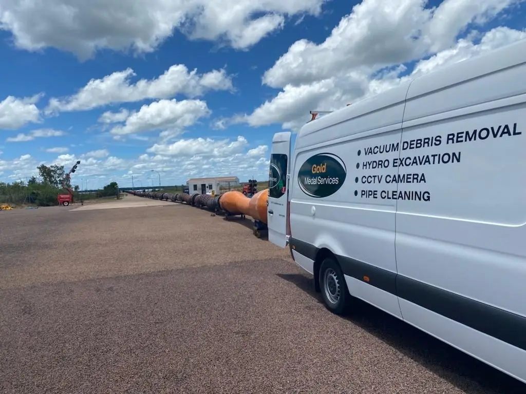
GPR mapping integrates with our NDD hydroexcavation, CCTV inspection and hydraulic design services. One point of contact coordinates all subsurface work.
Defence and Government Experience
22+ years working on Defence facilities and over 30 years serving NT government clients. We understand security protocols, compliance documentation and operational requirements.
Accurate, Actionable Data
Survey-grade positioning and professional reporting that engineering teams, certifiers, and contractors can use immediately. No ambiguous markings or rough approximations.
Project Risk Reduction
Prevent utility strikes, avoid project delays, reduce insurance claims, and maintain site safety. One GPR scan typically costs less than one day of project downtime.
Ground Penetrating Radar Questions
How deep can you scan?
Subject to soil type we can scan up to 8 meters.
Are you GPR certified?
Yes, CertLoc (formerly Dial Before You Dig) certification.
Trusted by leading organisations across the Northern Territory
Over 30 years serving NT government and commercial clients. 100% compliance record.
Don't let unknown subsurface conditions delay your project or create safety incidents
Our CertLoc-certified operators deliver accurate GPR mapping with survey-grade data you can use immediately for project planning, compliance documentation, and safe excavation.